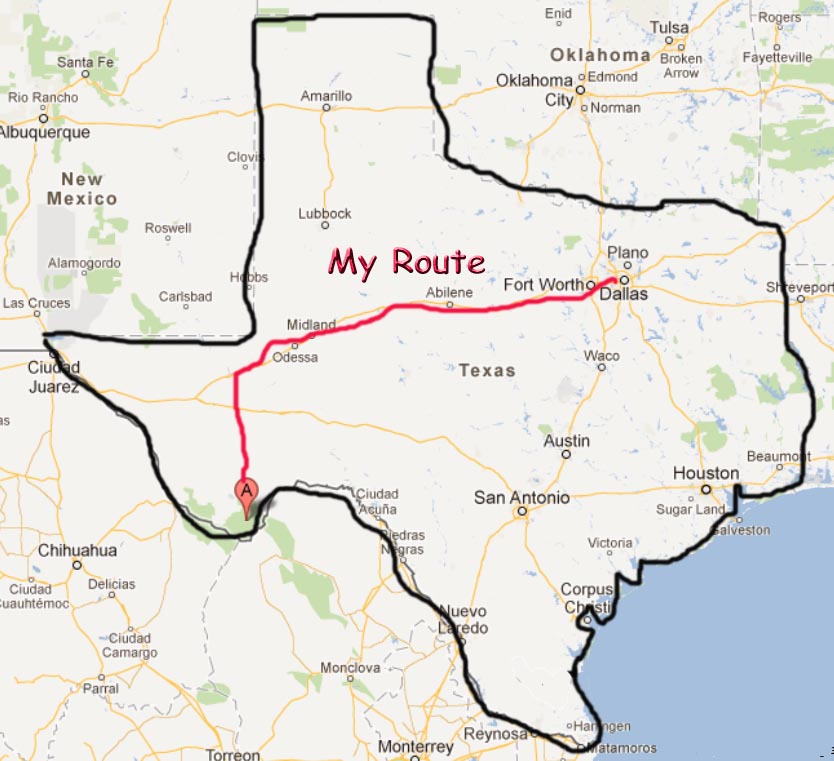
It’s Friday before Labor Day
weekend and I’m fortunate to be able to take the Sportster on a Road Trip to
Big Bend National Park. This trip has
been on the “todo” list for years but didn’t happen because of either rain or
fires. Beverly told me that this trip
was too ambitious and upon returning home I agree with her. However, sometimes a guy just pushes the envelope.

Days on the road: Plano:Ft Stockton + Ft Stockton:Big Bend:Ft
Stockton + Ft Stockton:Plano = 3 Days
Saddle time: 8:30 + 9:00 + 8:30 = 26:00 Hours
Total distance: 461 + 337 + 456 = 1254 Mi
Best Meal: K Bobs - Ft
Stockton
2nd Best Meal: New York Hill Restaurant - Thurber TX
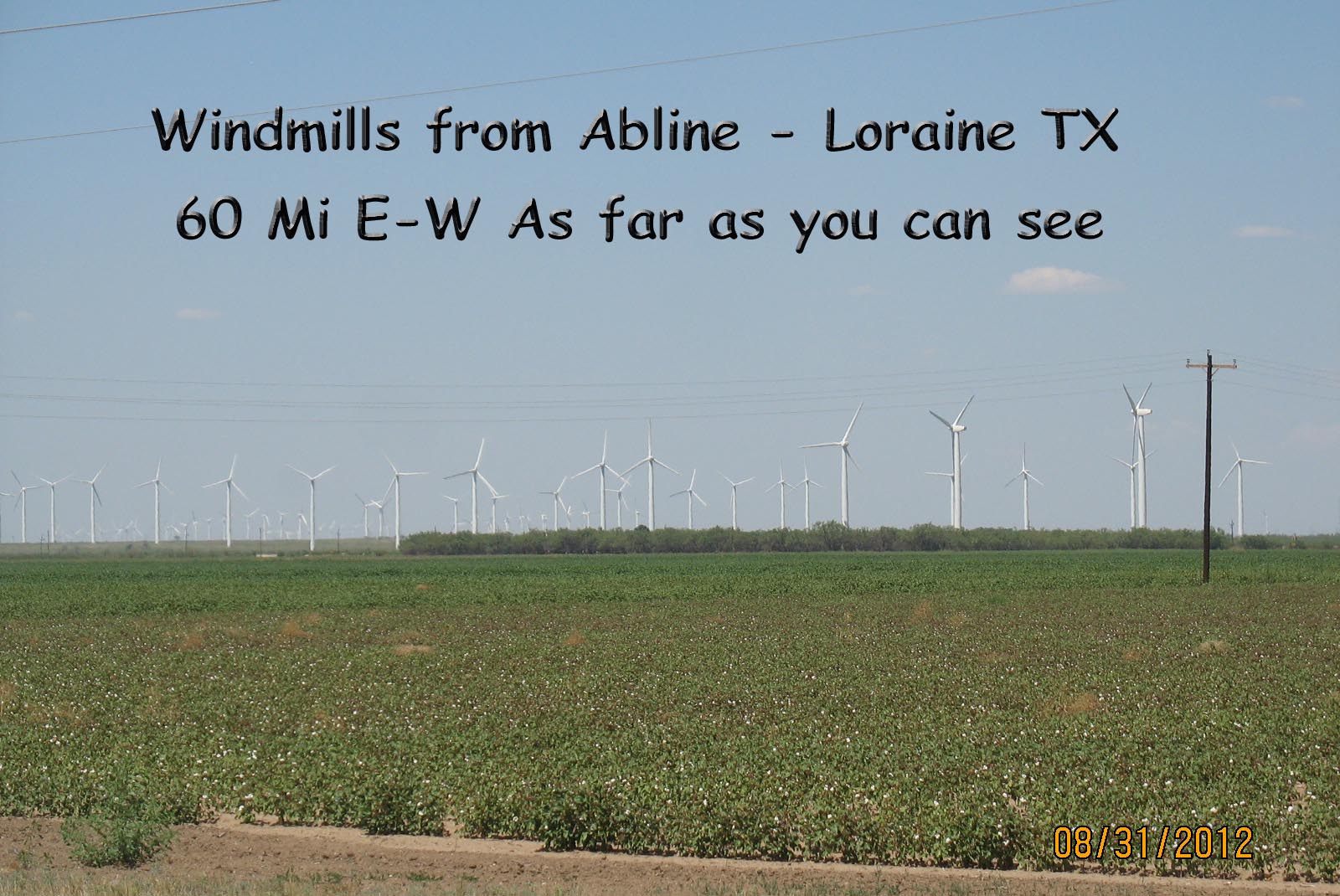
Q- Why are there so many wind mills from Abilene to Loraine (60 Mi
East to West)?
A – Because it is so blame windy
A person doesn’t appreciate the South wind while driving in an East-West direction but you sure do when you are riding on a Sportster. There are caution signs on the highway and every time you deal with a truck, you really have to be in control lest you leave your lane unexpectedly.
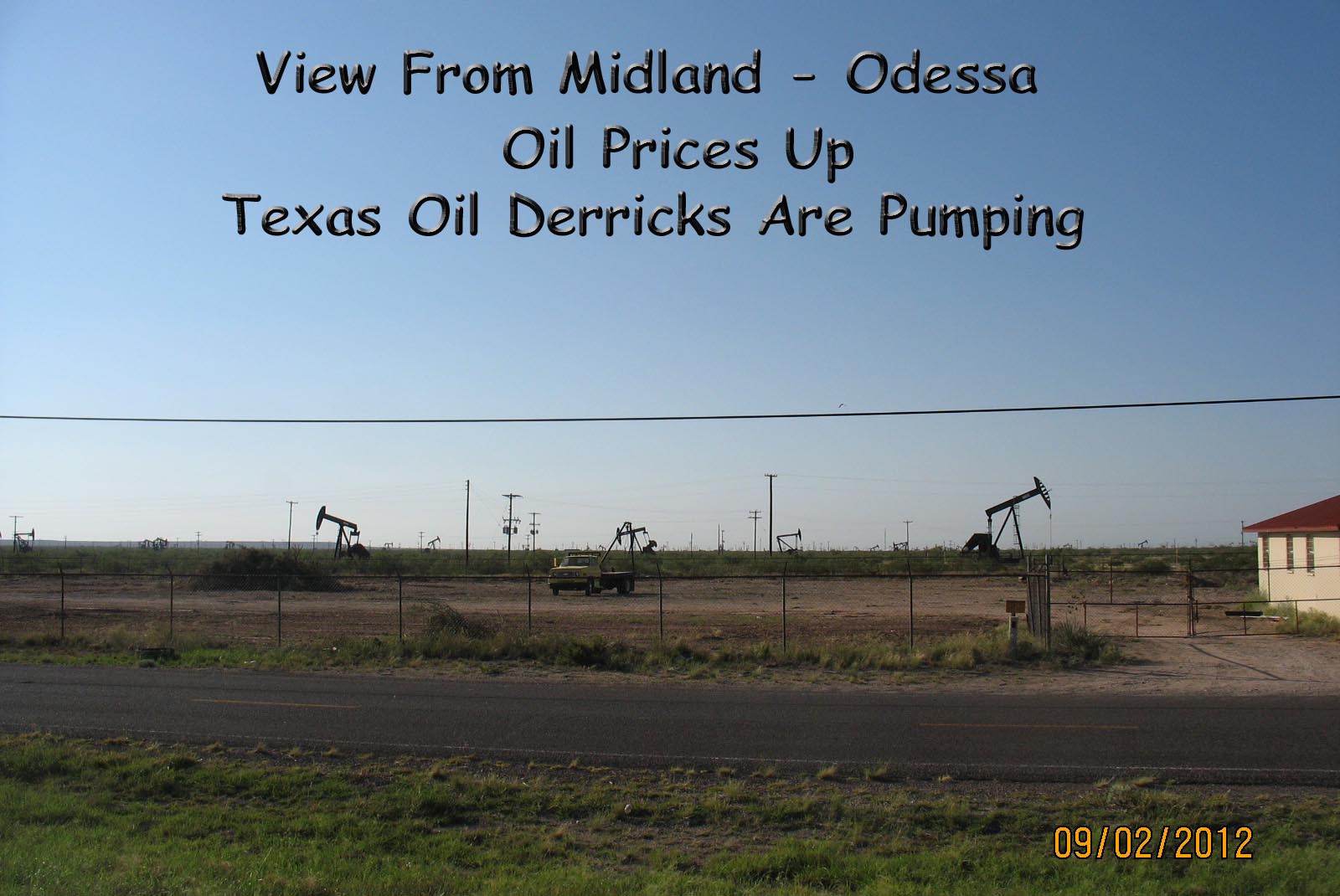
The traffic from Midland to Odessa moves considerably slower than the
posted speed limit. The reason is that
there are too many vehicles and not enough roads. This has recently become an issue due to the
increased price of oil. If you look to
the north or south in this area, all you see are oil derricks pumping
away. Of course it takes quite a few
people to maintain these oil fields.
Do not confuse this with Big Bend
State Park. I’m told to get round in the
State Park you need a M1 Abrams Tank where the National Park has excellent
paved roads.
Q - Why is there a Big Bend National Park that is the largest, most remote
and least visited (300,000 to 350,000 people per year)?
A – Because it is Awesome! It is
the park that protects the Chihuahua Desert topology and ecology. This park protects more species than 1200
plants, 450 birds, 56 reptiles and 75 mammals.
It is 1250 square miles (larger than Rhode Island) and the Chisos
Mountains range in altitude from 1500 ft to 7832 ft. The mountains were formed via plate tectonics
where the South American Plate rose over the North American Plate with two
separate folds that were many million years apart. Its south border is on the Rio Grande
sharing 244 miles with Mexico.
I found out that if you really
want to see this park you need to either camp there or stay in close (for
example Study Butte). Ft Stockton was
just too far away. You can see that I
spent 9 hours in the saddle the day I went to Big Bend and all I covered was
the Chisos Mountains. The speed limit
(which is heavily patrolled) is 45 MPH tops.
With a park this large you need to minimize your travel time to get
there.
I spent 2 hours from Ft Stockton
to the North entrance of Big Bend, 1 hour from the North entrance to the Visitor’s
Center (where gas is available) and then 1 hour to the Castolon Santa Elena
Junction where the Ross Maxwell Scenic Drive loop begins. Traveling the loop would have been great as
it goes from the mountains to the Rio Grande valley and back. However, it took me 4 hours to get this far,
it was going to take at least 4 hours to get back and my body was wearing down
as the desert heat was increasing. So I
returned the way I came (where I could purchase gas).
If you plan to visit this park,
1) never pass a gas station, 2) make sure you have plenty of drinking water and 3) bring
your own food. There are some places to
purchase these things but they are few and far between.
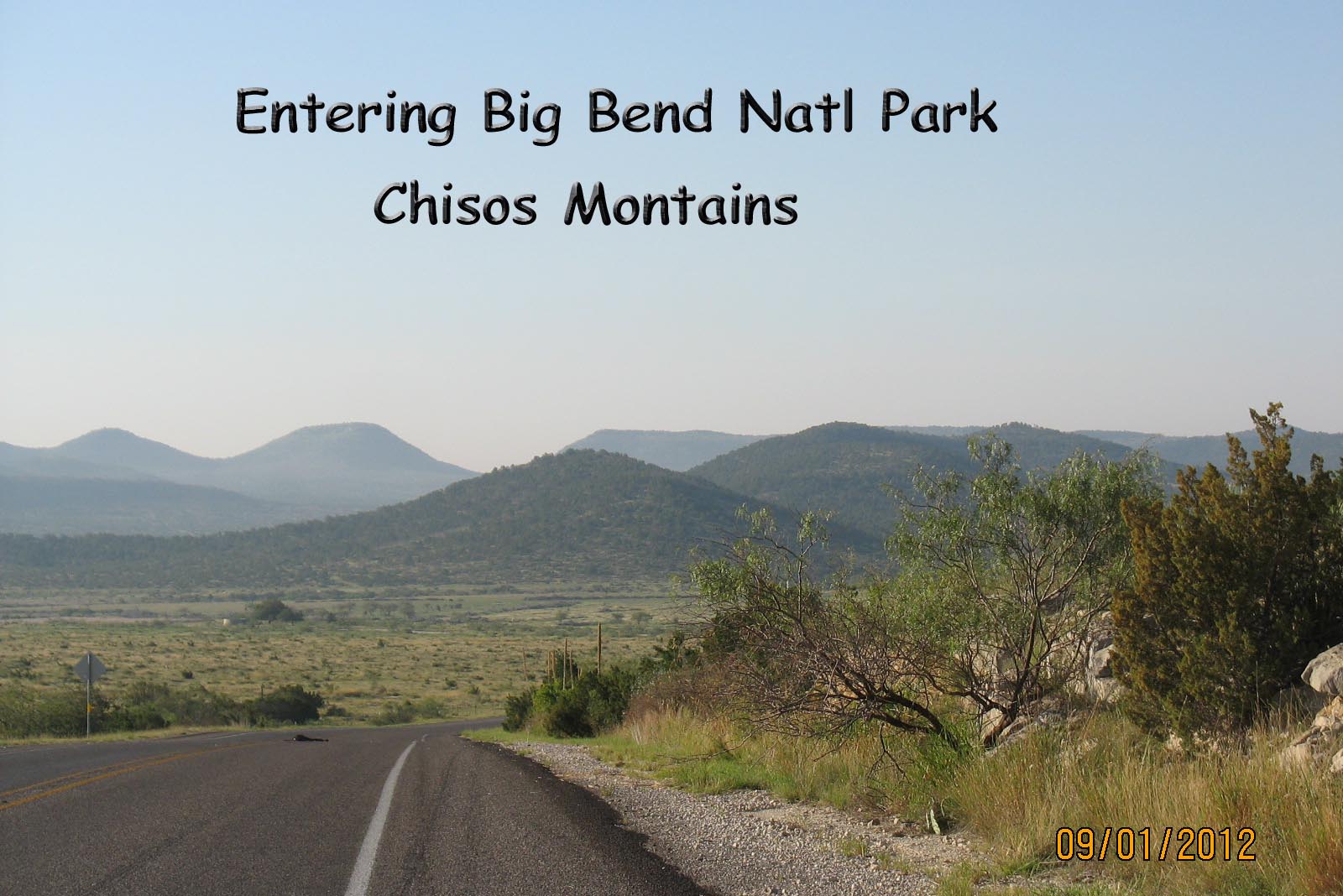
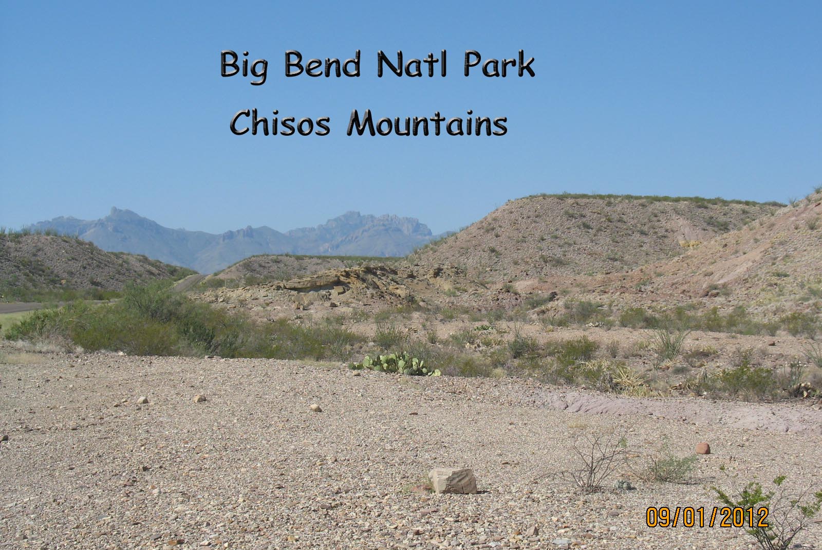
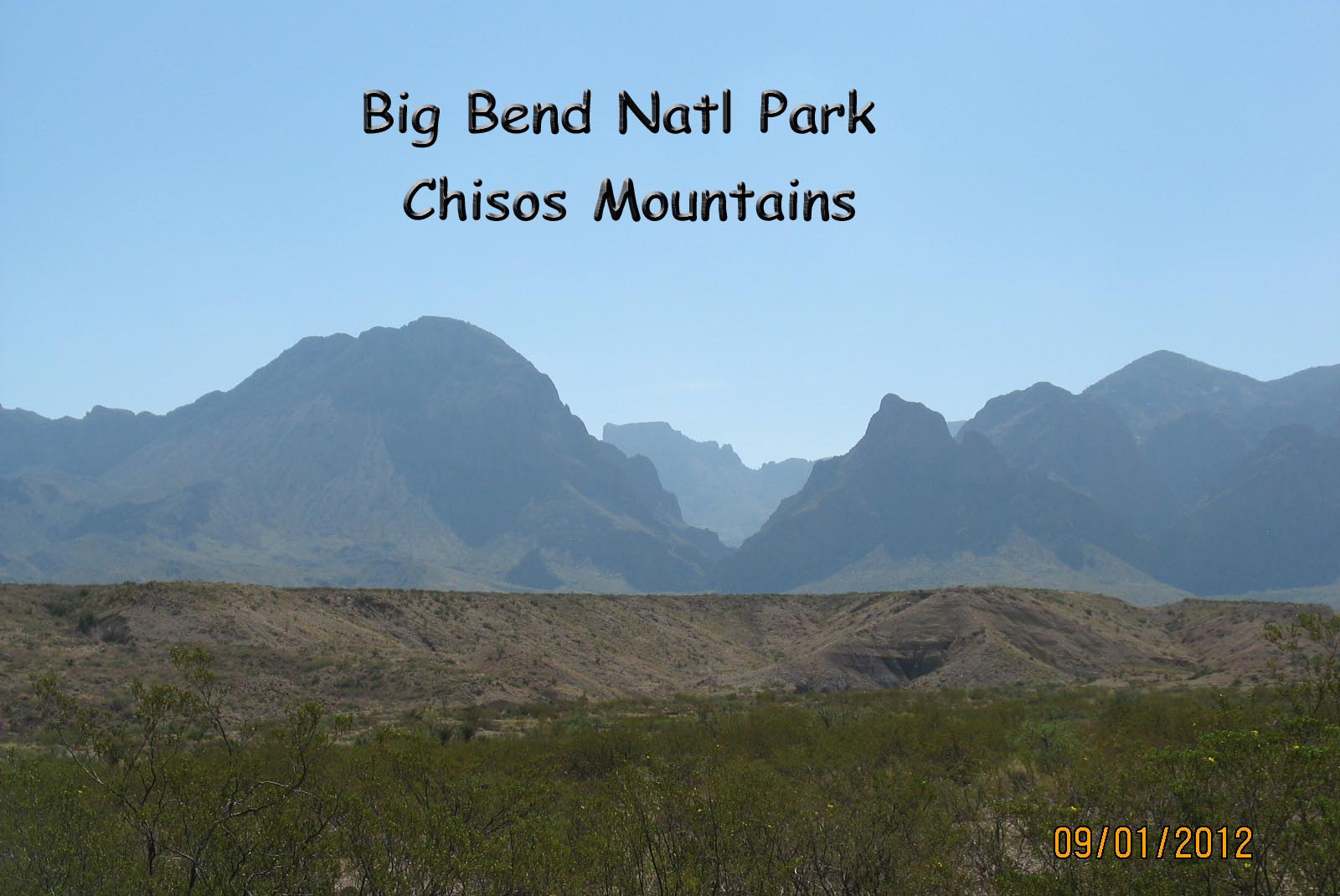
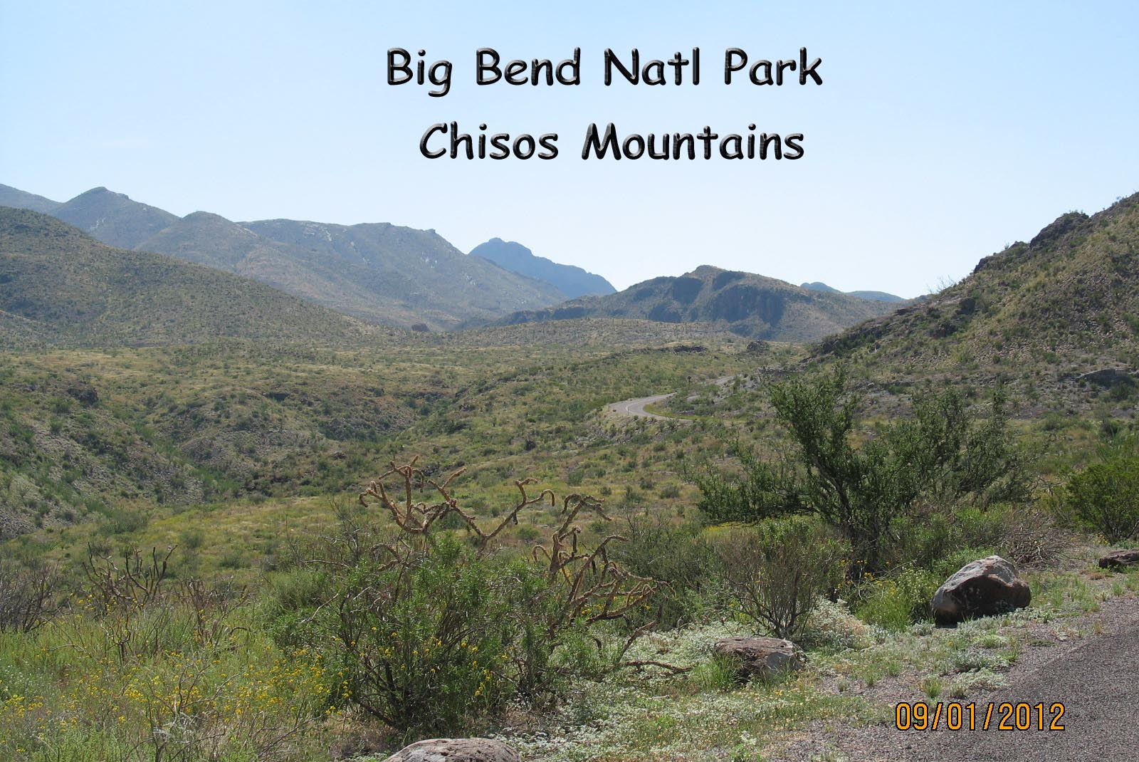
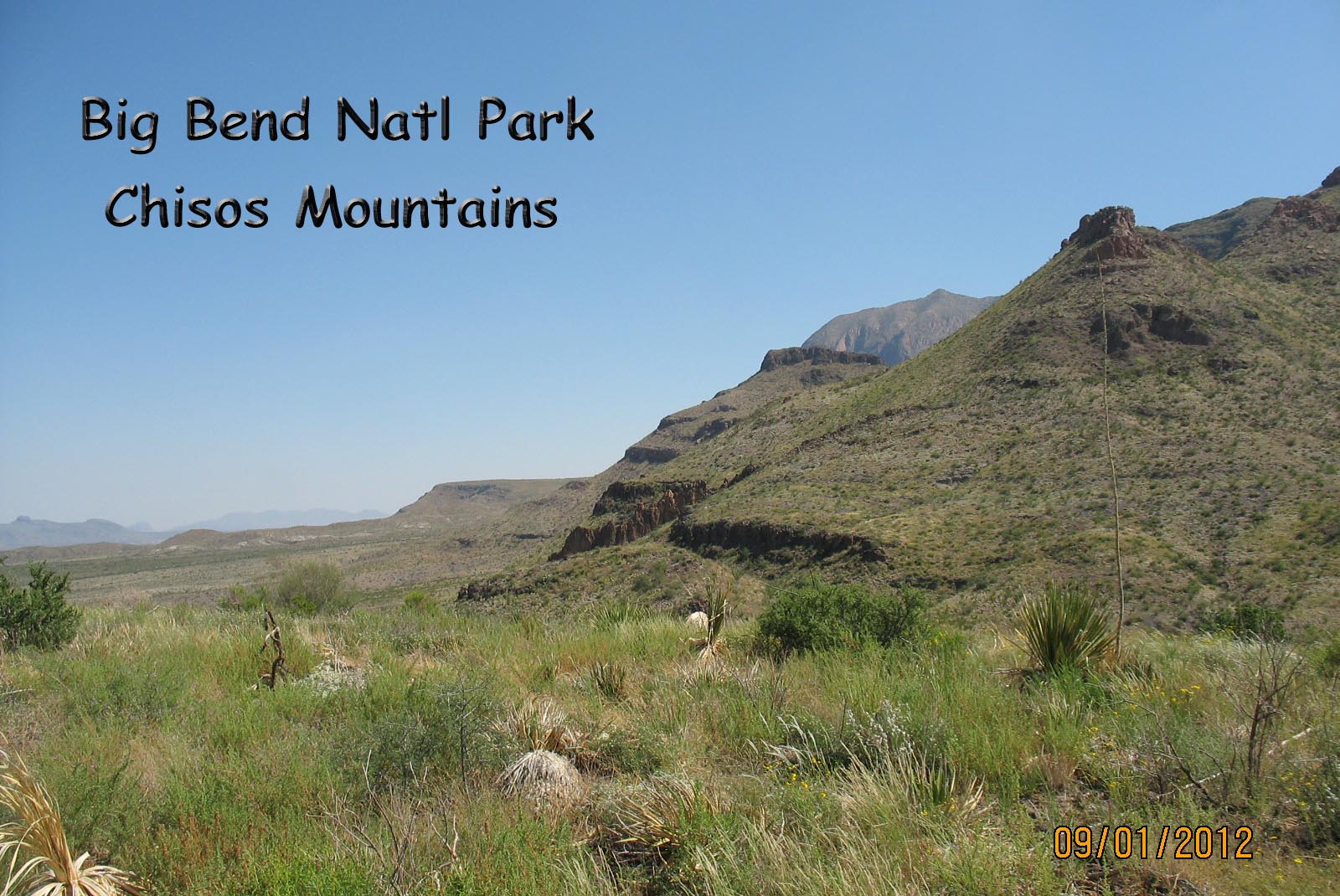
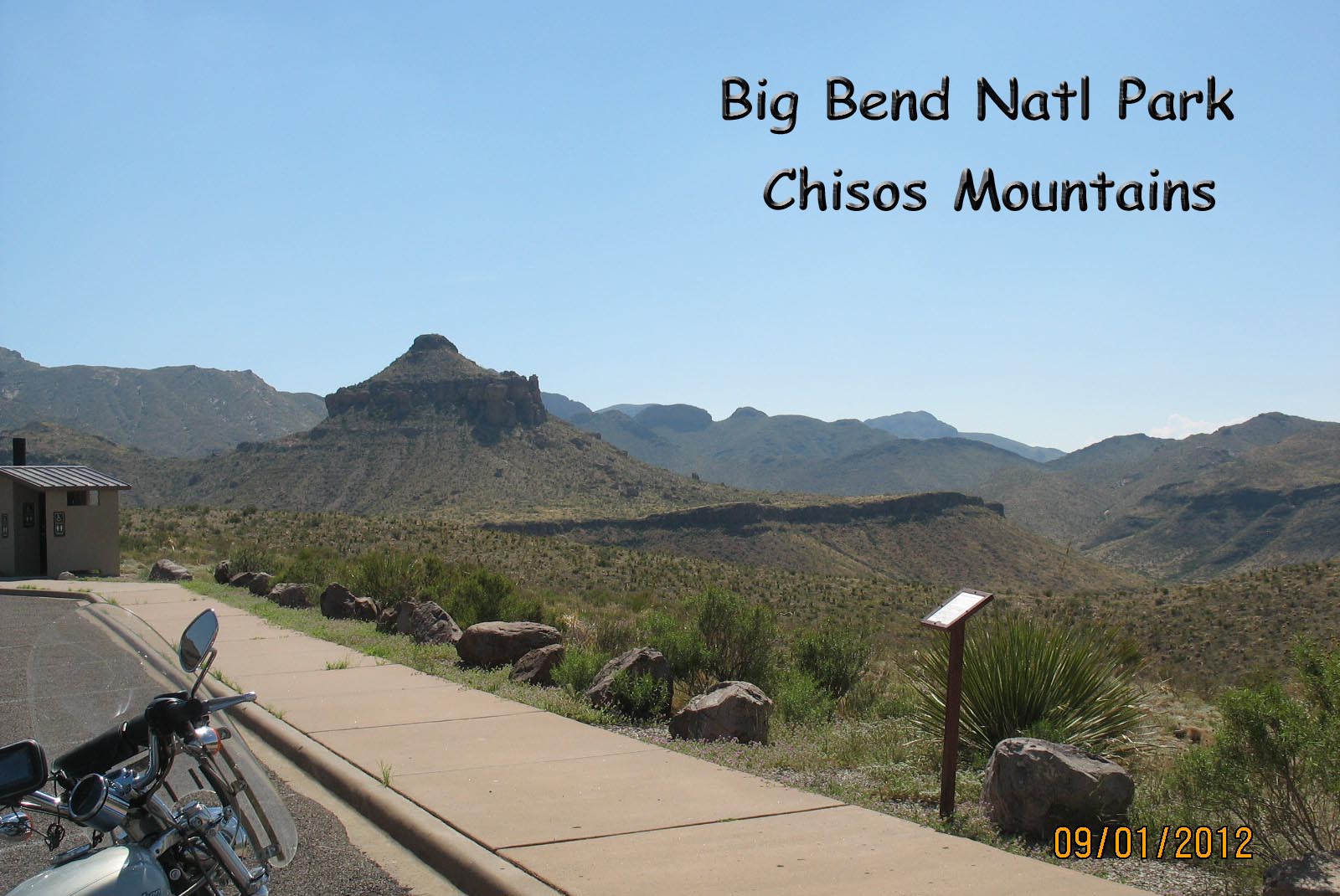
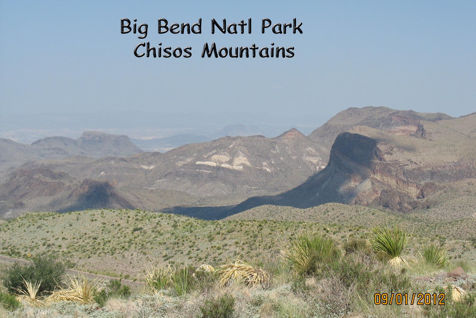
I’ve included pictures of the
Chisos Mountains but they don’t properly represent the desert mountain
view. While in the park, the view is
constantly changing due to the shadows from the sun’s position in the sky or
you moving down the road.
If I come here again, I’ll stay in closer (in the park or at Study Butte) and travel in an air-conditioned car with plenty of food and water. Or if I get amnesia, I’ll be back on the Sportster.
